Please note: this page is now closed and no further updates will be made to this page.
Council’s decision can be found on the development.i website along with all documentation for this development application 6243/2023/LAP or click below.
Please note: this page is now closed and no further updates will be made to this page.
Council’s decision can be found on the development.i website along with all documentation for this development application 6243/2023/LAP or click below.
Greater Springfield is a unique area under planning legislation. It was first identified by the State Government for large-scale residential development when published as a Development Control Plan in 1997. The Local Government (Springfield Zoning) Act 1997 further cemented the role of the Development Control Plan. Over time, the Springfield Development Control Plan has become known as the Springfield Structure Plan, and forms part of Ipswich’s local planning scheme.
Much of the land identified within the Springfield Structure Plan was previously a plantation forest which had undergone significant clearing. Much of this area has regrown since forestry activities stopped and the original masterplanning commenced.
Under the Springfield Structure Plan, a Precinct Plan and Area Development Plan are both required to be submitted to council for approval before any development occurs within the Springfield area. These development applications are not considered impact assessable under the Springfield Structure Plan. While most developments are generally bound by vegetation clearing regulations (under the Vegetation Management Act 1999) and regulatory koala habitat maps, the Springfield Structure Plan is considered exempt under Part 10 Schedule 10 of the Planning Regulations 1997 and Part 6 Division 1 Section 74 of Vegetation Management Act 1999.
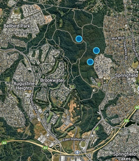
In 2015, council received the first development application for Springview Estate, a staged mixed-use development of approximately 240 hectares bounded between Opossum Creek to the west, O’Dwyers Gully to the east and the Springfield Anglican College – Primary School Campus to the south. This is continuing the development pattern that has been planned for this area for almost 30 years. Village 1 was the first of three stages developed, comprising approximately 29.6 hectares located in the south-eastern corner of the estate. Village 2 and 3 are now being assessed by council for the remaining 150 hectares in the estate.
Planning is in place to
provide for growth in our community including areas for future development identified for housing, as well as locations and uses recognised as suitable for jobs and services.


The above images were taken in 2009 and 2024.
The Village 3 Area Development Plan was approved by Council in May 2025.
Council’s decision can be found on the development.i website along with all documentation for this development application, search application number 5547/2020/ADP click here.
Development applications by Stockland included plans to protect native wildlife corridors and koala habitat trees. The amount of open space proposed will be greater than what is required under the Springfield Structure Plan.
Stockland has also amended the original Precinct Plan by removing some proposed dwellings on the western side of the site. This area will now be kept as extra open space alongside Opossum and Woogaroo Creeks.
The Springfield Structure Plan has been updated over time to reflect changes in Queensland’s planning laws. The most recent update in 2023 makes the plan easier to use and ensures it is consistent with the current planning framework.


Ipswich is one of the fastest growing areas in Queensland and continues to grow and change. So how do we plan for this growth and change?
Ipswich City Council respectfully
acknowledges the Traditional Owners, the Jagera, Yuggera and Ugarapul People of
the Yugara/Yagara Language Group, as custodians of the land and waters we
share. We pay our respects to their Elders past and present, as the keepers of
the traditions, customs, cultures and stories of proud peoples.
![]()
Phone: (07) 3810 6666
Email: communityengagement@ipswich.qld.gov.au
Postal: PO Box 191, Ipswich QLD 4305, Australia
Ipswich City Council protects your personal information in accordance with the Information Privacy Act 2009 (Qld) and the Queensland Privacy Principles (QPP).


